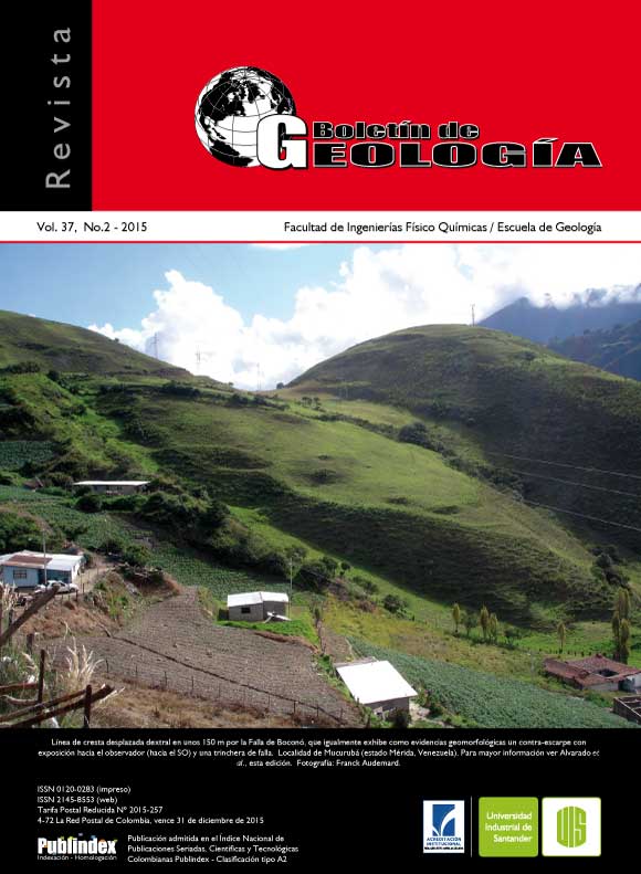
NEOTECTONIC CARTHOGRAPHY OF BOCONO FAULT IN THE SEGMENT TABAY – LA TOMA, MÉRIDA– VENEZUELA
Published 2015-02-18
Keywords
- active tectonics,
- Boconó Fault,
- Mérida,
- Andes de Venezuela
How to Cite
Abstract
The Boconó fault is the most important and distinctive geological feature of western Venezuela. It runs for more than 500 km in the southeast-northwest direction with significant implication on the complex structure of the venezuelan Andes. Between the towns of Tabay and La Toma of Mérida state, it have been identified some segments of the fault parallel to the valley of Chama river. The overall geometry is rectilinear with the Chama basin located over the trace of the fault. This work attempts to describe the persistence and consistence of the geomorphological traits that have been produced by the most recent fault movements. Making use of the available aerial photography (scale: 1:25.000, 1:35.000 and 1:40.000) and field assessment, it was found that throughout much of the trace, the Boconó fault has a dextral strike-slip movement with a normal component. In
particular, at southeast of Tabay town, it was observed that a fault segment, coming from the southwest, ends in a remarkable pressure ridge. It was also corroborated in Mucuchies town, a pull-apart basin due to the fact that the fault changes its pathway clockwise.
