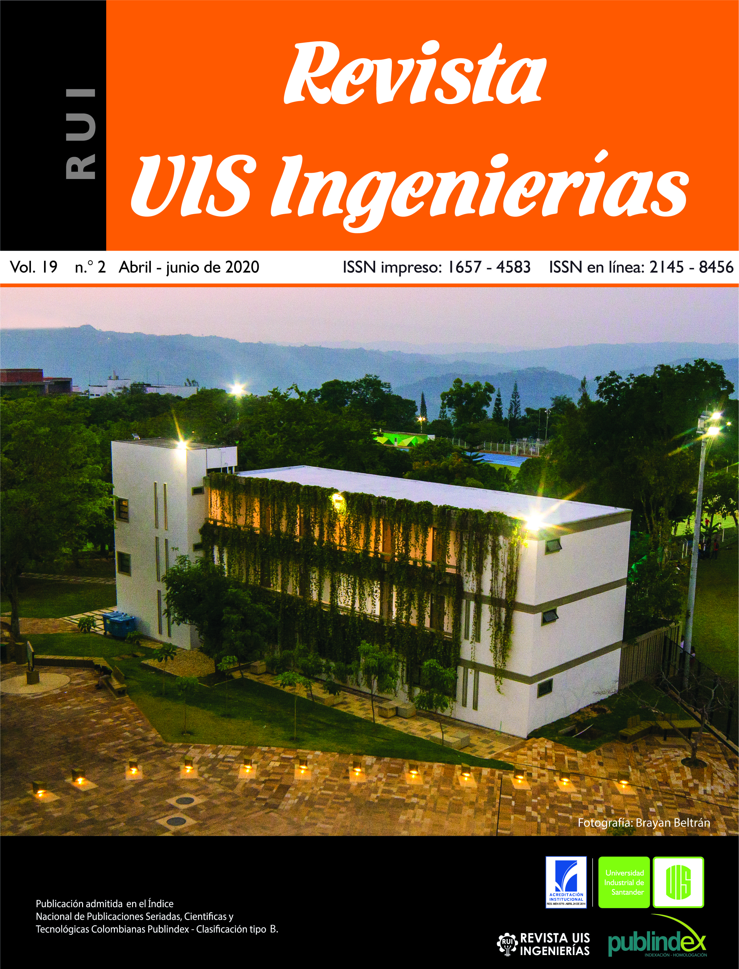
Gilsonite exploration by using electrical resistivity tomography with multi-electrode gradient array: A case study in Rionegro (Colombia)
Published 2020-03-10
Keywords
- gilsonite,
- asphaltite,
- electrical resistivity tomography,
- electrical prospecting,
- geophysical exploration
- shallow geophysical method ...More
How to Cite
Copyright (c) 2020 Revista UIS Ingenierías

This work is licensed under a Creative Commons Attribution-NoDerivatives 4.0 International License.
Abstract
Subsurface exploration using geophysical methods has increased the prospective economic possibilities for new non-metallic minerals and other raw materials such as solid hydrocarbons. In this paper, we show results of electrical resistivity tomography (ERT) carried out by using the multi-electrode gradient array, and conducted with the main purpose of mapping the high resistivity anomalies related to the presence of solid hydrocarbons bodies. ERT profiles were interpreted trough considering the gilsonite evidence on rocky outcrops in the La Luna Formation (Ksl) and their respective lithological contact with the Bocas Formation (Jb). This study concludes that, both on the surface and in the subsurface, in the stratification plane of La Luna Formation, the gilsonite is a tabular and oblique shape, and the contact Ksl-Jb is faulty with an almost vertical inclination. However, different structural processes have contributed to the irregular formation and massive body of gilsonite. Finally, the study concludes that resistivity tomographies represent a reliable alternative for preliminary exploration stages. Since the cost of the method is relatively low in Colombia, it also serves as an economically viable alternative for small exploratory projects.
Downloads
References
[2] D. Barrero, A. Pardo, C. A. Vargas, J. F. Martínez, Colombian Sedimentary Basins: Nomenclature, Boundaries and Petroleum Geology, a New Proposal. Imprenta Nacional de Colombia, 2007. [Online]. Available: http://www.anh.gov.co/Informacion-Geologica-y-Geofisica/Cuencas-sedimentarias/Documents/colombian_sedimentary_basins.pdf
[3] Boden T., and Tripp B, T. Gilsonite veins of the Uinta Basin, Utah. Utah Geological Survey, 2012.
[4] T. Dahlin and B. Zhou, “Multiple-gradient array measurements for multichannel 2D resistivity imaging,” Near Surf. Geophys., vol. 4, no. 2, pp. 113–123, Apr. 2006. doi: 10.3997/1873-0604.2005037
[5] P. Furness, “Gradient Array profiles over thin resistive veins,” Geophys. Prospect., vol. 41, pp. 113-130, 1993. doi: 10.1111/j.1365-2478.1993.tb00568.x
[6] W. Hays, O. Nuttli, L. Scharon, “Mapping gilsonite veins with the electrical resistivity method,” Geophysics, vol. 23, no. 3, pp. 302-310, 1967. doi: 10.1190/1.1439869
[7] H. Jacob, “Classification, structure, genesis and practical importance of natural solid oil bitumen (migrabitumen),” Int. J. Coal. Geol., vol. 11, pp. 65 – 79, 1989. doi: 10.1016/0166-5162(89)90113-4
[8] M. H.Loke, I. Acworth, T. Dahlin, “A comparison of smooth and blocky inversion methods in 2-D electrical imaging surveys,” Exploration Geophysics, vol. 34, pp. 182–187, 2003. doi: 10.1071/EG03182
[9] W. Martínez, A. Mendez, W. Rubio, A. Taborda, “Ideas sobre la geología estructural del noreste de Colombia y su relación con los campos de petróleo,” in III Simposio Bolivariano de Exploración Petrolera en Cuencas Subandinas, Caracas, 1988. doi: 10.3997/2214-4609-pdb.114.018
[10] R.K. Odunaike, G. C.Ijeoma, R. O. Edigbe and A. H. Babatope, “Oil sands exploration in Ijebu-Imushin using magnetic and electrical resistivity methods,” 11th SAGA Biennial Technical Meeting and Exhibition, pp. 247 – 252, 2009.
[11] R. K. Odunaike, J. A. Laoye, O. O. Fasunwon, G. C. Ijeoma, and L. P. Akinyemi, “Geophysical mapping of the occurrence of shallow oil sands in Idiopopo at Okitipupa area, South-western Nigeria,” African Journal of Environmental Science and Technology, vol. 4, no. 1, pp. 34 – 44, 2010. [Online]. Available: https://www.ajol.info/index.php/ajest/article/download/56313/44759
[12] P. Salimi, A. T. Motlagh, and K. R. Bisetooni, “Exploration of Bitumen (Natural Asphalt) using a combination of apparent Resistivity method and exploration drilling in Saleh-Abad area, Ilam Province Iran”, JNS, vol. 1, no. 1, pp. 16-21, 2014.. doi: 10.24297/jns.v1i1.381
[13] Torleif Dahlin and Bing Zhou. A numerical comparison of 2D resistivity imaging with 10 electrode arrays. Geophysical Prospecting, vol. 52, pp. 379–398 2004. DOI: 10.1111/j.1365-2478.2004.00423.x
[14] M. C. Torrado, K. D. Torres, “Contribution to the asphaltite exploration through the electric resistive image method and its geochemical classification in Rionegro (Santander),” undergraduate thesis, Universidad Industrial de Santander, Colombia, 2016.
[15] B.V. Uspensky, R.F. Vafin, S.E.Valeeva, A.A. Eskin, M.Ya. Borovsky, “Conditions of formation and geophysical methods of forecasting factors complicating the development of natural bitumen deposits,” Oil Industry Journal, vol. 11, pp. 75 – 77, 2016.
[16] E. R. Verbeek, M. A. Grout, “Geometry and structural evolution of gilsonite dikes in the eastern Uinta Basin,” U.S. Geological Survey Bulletin, 1993, Online]. Available: https://pubs.usgs.gov/bul/1787hh/report.pdf
[17] B. Zhou, T. Dahlin, “Properties and effects of measurement errors on 2D resistivity imaging surveying,” Near Surface Geophysics, vol. 1, pp. 105–117, 2003. doi: 10.3997/1873-0604.2003001

